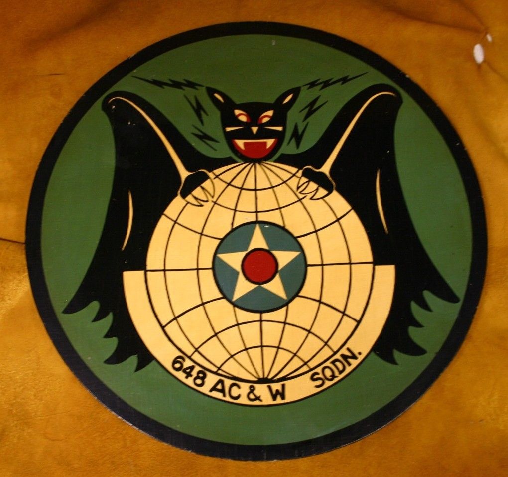
Benton Air Base Patch
USAF Air Defense Command Radar Post
Colley, Sullivan County, PA
1951-1975
Note: The radar at Benton Air Force Station in Colley
scanned skies from Massachusetts south to Virginia and east over the Atlantic Ocean.
The station
was manned by the 648th Aircraft Control Squadron at Fort Indiantown Gap. Benton Air Force
Station was converted to the
Red Rock Job Corps Center in 1978, now part of Ricketts Glen State Park.
Photo Contributed by Scott W. Tilden
Original Patch Auctioned on eBay in
February 2014
Local Airports |
| In the summer of 2006, Ray McDonald of Cherry Mills mentioned to
Bob Sweeney that Sullivan County had one or two small airports in the area. Mesmerized by this unexpected information, and astonished that anyone would try to land a plan of any size in or around the hilly Dushore region, I created this page as a source of information about local air strips and to invite further comments on the history of flying in northern Pennsylvania. We would be delighted to review additional suggestions and map contributions from our readers. Bob Sweeney August 2006 Here is a list of local airfields and related information for preparing flight plans, examining local topology, FAA assigend codes and much more: I was able to determine that Dwight's Delight, the Dushore airport, sits at 1717 feet in altitude, and has a runway 1990 feet long and 90 feet wide. Presumably, it is a grass strip. The field lies three miles west of Dushore and is privately owned. In February 2007, we heard from Chris Kelley:
|
Copyright © 2006 Robert E. Sweeney and individual Contributors. All Rights Reserved. Prior written permission is required from Robert E. Sweeney and individual Contributors before this material can be printed or otherwise copied, displayed or distributed in any form. This is a FREE genealogy site sponsored through PAGenWeb and can be reached directly at ~Sullivan County Genealogy Project (http://www.rootsweb.com/~pasulliv)